If you’re buying a property with the intention of developing or significantly renovating, you need to know about land surveying.
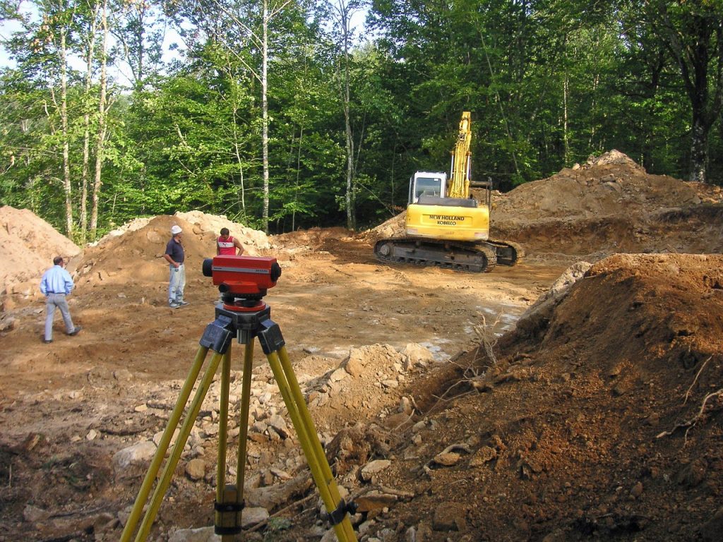
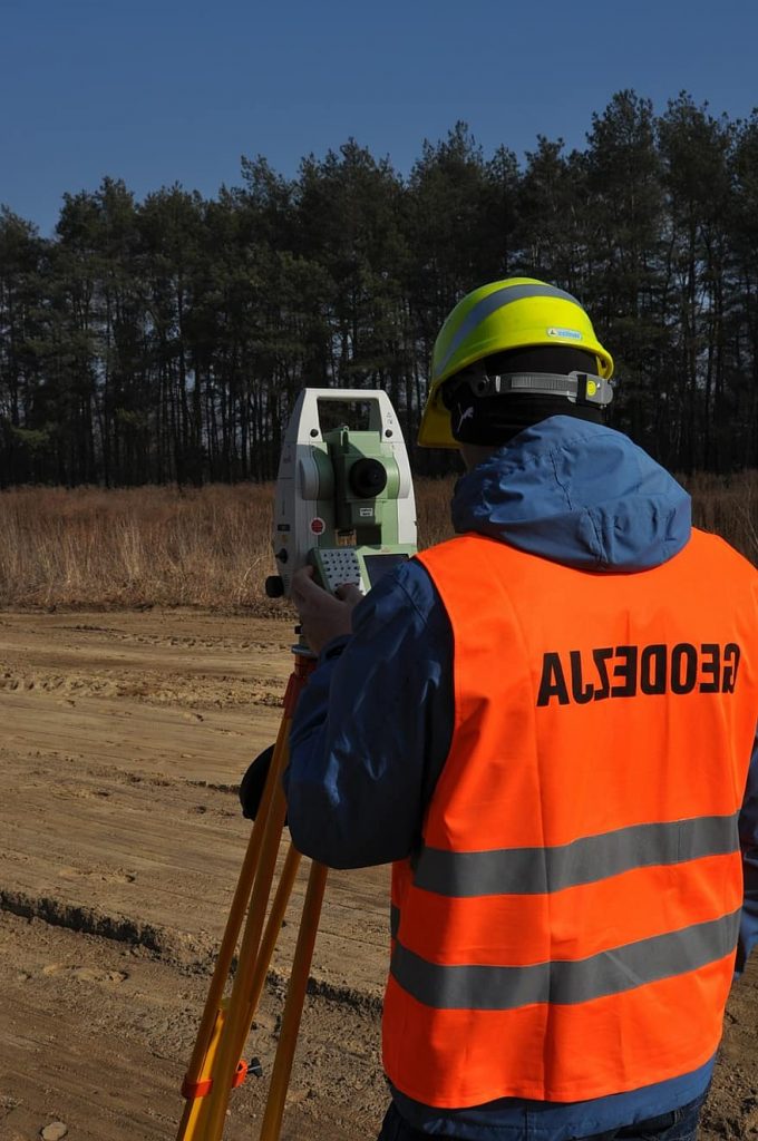
You’ve probably seen surveyors in the field as you drive to work. They’re the ones in hard hats who’re often looking through telescopic machines set on tripods – gazing to the horizon or concentrating on a height staff being held by their apprentice.
Surveyors are often the first people on any construction or development site, measuring and mapping the land. Their measurements are then used by architects to understand and make the most of the landscape when designing infrastructure, and engineers to plan structures accurately and safely – ensuring buildings not only fit in with the landscape but are able to be built properly.
They’re experts in determining land size and measurements, as well as topographic heights. The surveyor gives advice and provides information to guide the work of engineers, architects, town planners, geologists and developers. They also work with all levels of government as well as service authorities such as water, sewer and power authorities.
Why Do Renovators and Developers Need Their Land Surveyed?
Accurately understanding the dimension and topography of any site is key to ensuring what you plan to achieve will comply with building guidelines, town plans and the end goal of your project. For example, if your structural renovation or development project requires constructing new rooms or additional dwellings after subdividing a block, you need to understand whether everything will fit on the site. You must also ensure you adhere to all town planning codes, like the wall distance from property’s boundary line.
In addition, if you’re proposing to build, renovate, develop, subdivide, or change the land use, a planning permit might be required. These are lodged with the relevant local government department and are assessed against the land zoning, permitted land uses, overlays, municipal strategic statements and various other planning documents. To make your case, a professional survey is going to be mandatory.
It’s important to understand there are a whole host of different zones that allow for different land uses to be conducted. There also may be overlays such as wildfire, heritage, vegetation protection on the land as well as local provisions such as minimum and maximum land size for subdivision, building heights and plot ratio that you need to know. Having your boundary lines and topographic heights accurately measured on a plan ensures you can address and accommodate all these issues while still completing the project you plan.
What is an Existing Conditions Survey?
So, for structural renovation or development projects, an Existing Conditions Survey, also known as a site and context plan will be required. A qualified land surveyor will survey the site to provide information including the location of features such as buildings, vegetation and fences, the slope of the land, building heights, road features and any utility services that are currently present.
The land surveyor may also have to carry out a title re-establishment survey to determine the exact location of the property boundaries because sometimes the boundary is different to the existing fence lines. Of course, this survey is necessary if any of your proposed works are near the boundary.
In areas close to waterways, or in flatter parts of land, the location and heights of drainage and sewer infrastructure is also vitally important. This information can often determine future dwelling floor levels or the ability of increased density developments to be serviced.
Set out Surveys for Construction, Engineering and Development
Often when any new, improved, or upgraded development (building, road, oval, bridge etc.) is to be constructed, the exact locations of these works are required to be set out by a surveyor.
They can be as simple as setting out a reference line to allow builders to position the building, although modern construction techniques allow for more detailed and intricately shaped buildings (often constructed off-site), so the need for precise set out is invaluable.
On a sloped site, surveyor’s equipment can measure horizontal distances. This is incredibly useful for builders who don’t often have access to the specialised hardware for these measurements. With the correct setup, the surveyor’s equipment can measure distances to within a few millimetres. They can also measure vertical distances which are invaluable in providing for cut and fill measurements when constructing a road, drain, or for setting out an excavation for a pipeline.
Surveyors like Flat Out Surveying Pty Ltd will work with a project’s other professionals and contractors to determine what set out information is required. This allows the construction team to have a ‘plan of attack’ prior to site visits, helping minimise delays and making the process more efficient.